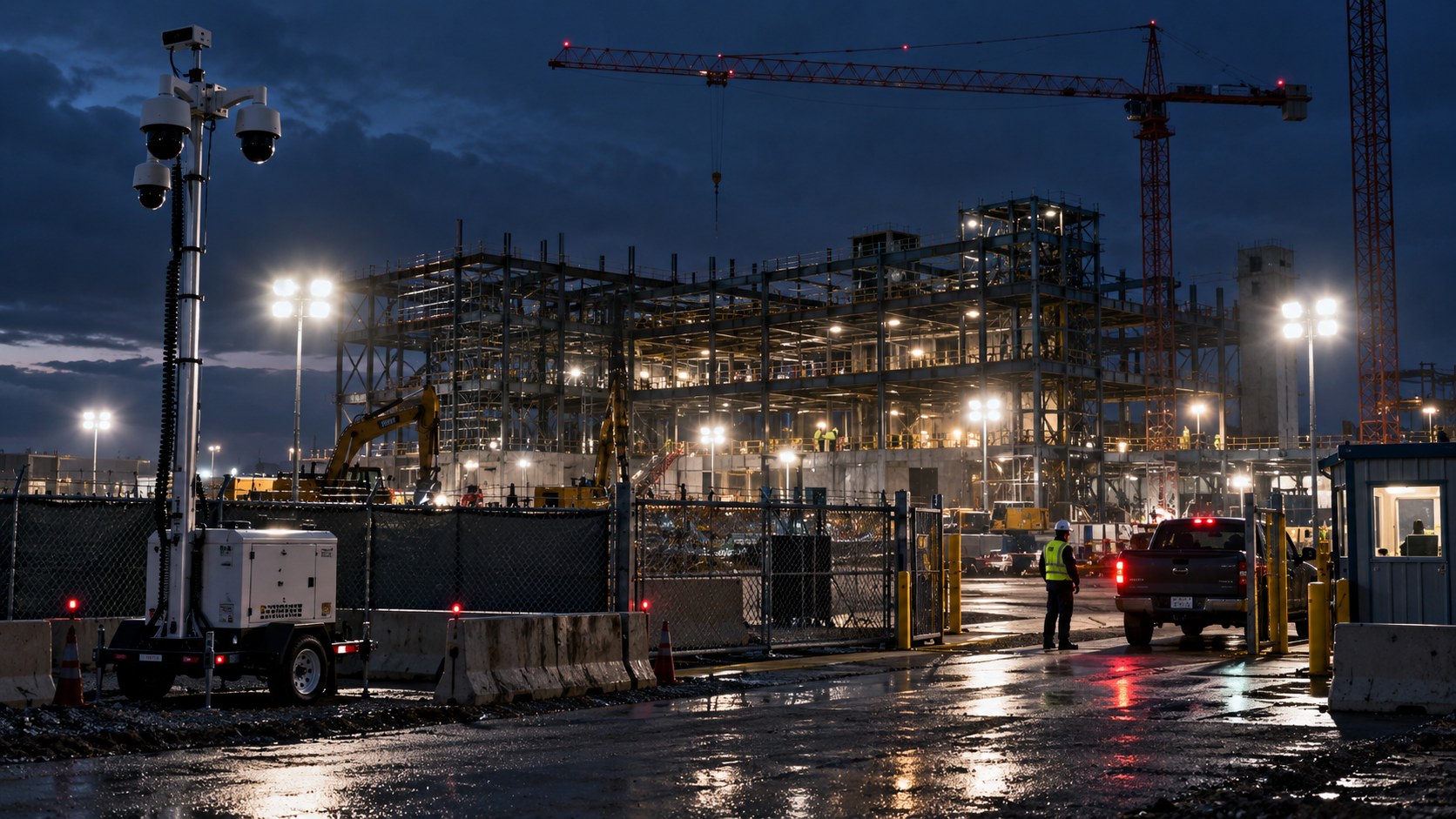
A construction site is one of the hardest properties in Connecticut to protect. It changes shape every week, it holds high-value equipment and materials in the open, and it sits empty for long stretches overnight and on weekends. Thieves know this, and the numbers show it. Mammoth Security Inc. builds security systems for Connecticut construction sites that account for that reality, with project teams working from the Norwalk office on Westport Avenue and the New Britain office on Hartford Square.
The theft problem on job sites is not minor. The National Equipment Register estimates heavy equipment theft costs the industry roughly 400 million dollars a year, and the National Insurance Crime Bureau reports that fewer than one in four stolen machines is ever recovered. More than a fifth of construction sites in the country are targeted every week. For a Connecticut contractor, a single stolen loader or a night of copper theft can stall a schedule and drain a builder's risk policy, which is why site security has moved from an afterthought to a line item.
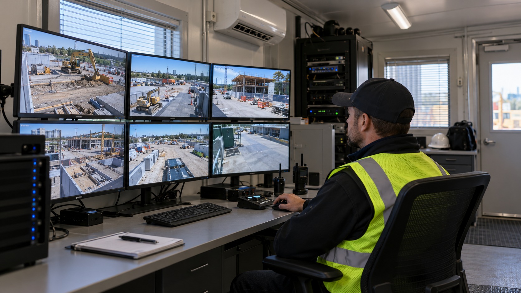
A construction site rarely has permanent power or a fixed network when security matters most, which is early in the build. It has no interior to mount equipment inside, no finished walls, and a perimeter that moves as the project grows. A camera system designed for a finished building does not fit. What a job site needs is a system that runs on its own power, connects over cellular data rather than a building network, and moves as the work moves. Mammoth Security designs around portable, cellular-connected cameras powered by internal batteries and solar panels, mounted on trailers, poles, and temporary structures that relocate as the site changes.
Cellular connectivity is the key. Because these cameras send video over a cellular data connection rather than a fixed line, they work on a raw site with no permanent infrastructure. Because they carry their own power, they keep working through the months before the building is energized. And because they are built to relocate, the same cameras follow a multi-project contractor from one job to the next rather than being abandoned when a build finishes.
The best outcome on a job site is a theft that never happens, so a strong construction security system leads with deterrence. Motion-triggered lighting, alarm sirens, and one-way speakers that let a remote operator address an intruder by voice turn a passive camera into an active deterrent. Many losses stop the moment a trespasser realizes a live person is watching and speaking. Layered on top, AI-powered intrusion detection separates a person moving through a restricted zone from a raccoon or a windblown tarp, so the alerts that reach a monitoring center are the ones that matter.
When deterrence is not enough, response speed decides the loss. Paired with a remote monitoring service, a flagged intrusion reaches a monitoring operator who can verify the activity on live video, trigger audio and lighting, and coordinate a dispatch to local law enforcement. Verified video also earns a faster police response than an unverified alarm, because an operator confirming an actual person on site carries more weight than a sensor tripping alone.
Security is not just about outsiders. A construction site needs to know who is on it and when, both for theft prevention and for documentation. Gate access control with credentialed entry logs which workers and subcontractors arrive and leave, and it produces a record that helps confirm subcontractor hours, investigate an incident, or support an insurance claim. Temporary credentials suit a workforce that turns over between phases, and the same access log becomes end-of-project handover documentation for the client.
A construction camera system earns its cost in ways beyond stopping theft. Time-lapse and recorded footage document site conditions, support OSHA incident investigation when a workplace event occurs, confirm deliveries, and give a developer progress footage for investor updates. When a contract dispute turns on what happened on a given day, the video is the record. For a Connecticut developer juggling several sites, that documentation reduces disputes and the downtime that follows them.
This is where a security integrator earns its place over a company that only drops cameras on poles. The system has to be designed around the phases of the build, moved as the site evolves, and tied into a monitoring plan that fits the contractor's hours and risk. Mammoth Security's in-house W-2 technicians handle that design and the reconfiguration as the project moves, rather than installing once and walking away.
Mammoth Security serves contractors and developers across the range, from small residential builds to mid-size commercial developments to large multi-site industrial projects. Connecticut's construction sector spans coastal Fairfield County work near Norwalk and central Connecticut projects near New Britain, and the same portable systems fit both. As a licensed Connecticut security and low-voltage contractor with four locations and more than 5,000 buildings secured, Mammoth brings enterprise-grade equipment to job sites without the enterprise price, on systems that redeploy from project to project.
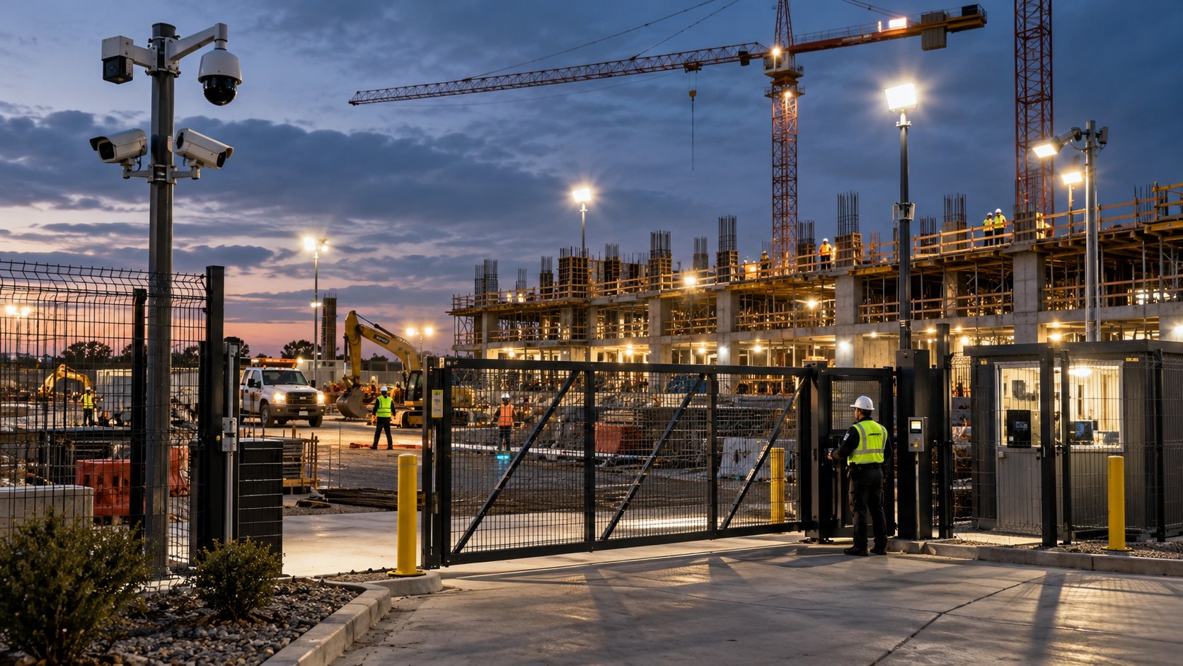
Understanding job-site theft means knowing what thieves take. Heavy equipment and machinery, loaders and lifts, are the biggest single losses, but they are not the most frequent. Power tools and hand tools disappear constantly because they are portable and easy to resell. Generators are prime targets because they are valuable and often left running. Copper, wire, and building materials such as lumber move on the resale and scrap market, and organized crews target sites for these specifically. A security system has to cover both the high-value machines parked overnight and the smaller, faster theft of tools and materials that adds up across a build.
Vandalism and trespassing compound the theft problem. An empty site after hours draws trespassers whose damage, tampering, and break-ins cost a contractor in repairs and delays even when nothing is stolen. Camera tampering itself is a signal, and AI-powered detection that flags a person entering a restricted zone catches the approach before the damage. For a Connecticut contractor, the goal is to make the site a harder, watched target than the unmonitored one down the road.
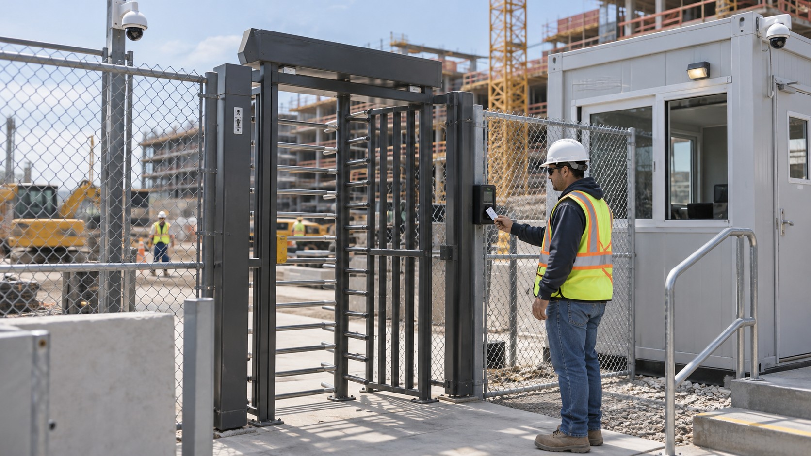
Job-site security pays back in two currencies a builder tracks closely: insurance and schedule. A monitored, camera-covered site can qualify for builder's risk policy considerations and gives an insurer documented evidence when a claim is filed, which shortens the dispute and the payout delay that stalls a project. Beyond insurance, a stolen machine or a night of copper theft creates worker downtime and schedule slips while replacements are sourced, and those delays ripple through a project's cost. Preventing one significant theft often covers a season of monitoring.
The documentation a camera system produces has value past theft, too. Time-lapse footage supports investor updates and progress reporting, recorded video confirms deliveries and subcontractor hours, and site footage supports OSHA reporting and workplace incident investigation when an event occurs. For a developer running several Connecticut sites at once, that record reduces disputes and the downtime that follows them.
The economics of job-site security improve when the equipment redeploys. Because Mammoth Security builds these systems around portable, reconfigurable equipment, a multi-project contractor moves the same cameras and access points from a finished build to the next site rather than buying new for every project. A single-project contractor gets coverage sized to one build. Either way, the system is designed to move with the work, and Mammoth's in-house technicians handle the reconfiguration as the site progresses through its phases and the perimeter shifts.
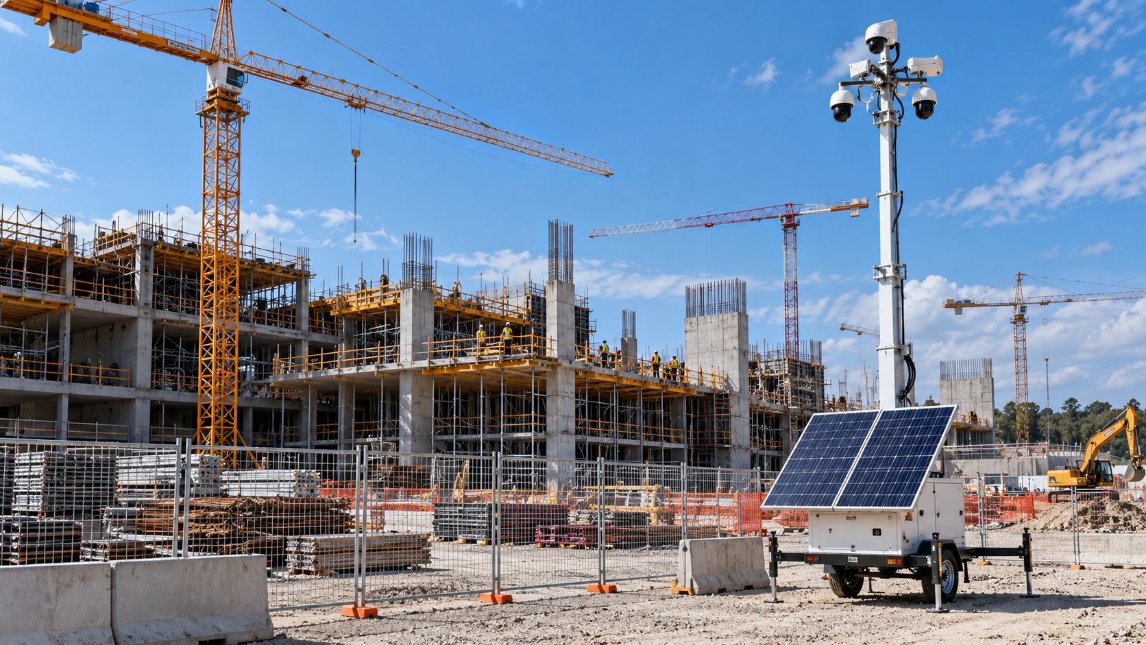
A large Connecticut project is not one site but a sequence of phases, each with its own risk profile. Early sitework leaves equipment and materials exposed with no structure to protect them. The framing and rough-in phases bring copper, wire, and expensive systems onto the site. The finishing phases add valuable fixtures and appliances. A security plan that fits the whole build adjusts as the site moves through these phases, relocating cameras and access points to cover what is at risk at each stage. Mammoth Security's team manages that progression rather than setting a system once and leaving it fixed while the real exposure moves around the site. That ongoing design is part of why a construction site is handled by an integrator and not a one-time camera drop.
The contractors who avoid the worst losses are the ones who treat security as part of the site plan rather than a reaction to a break-in that already happened. A watched, deterrent-first site rarely becomes the easy target, and the documentation it produces earns its keep long after the last theft attempt. Connecticut developers working coastal Fairfield County near Norwalk and central projects near New Britain get the same portable, redeployable approach either way.
For a Connecticut contractor weighing site protection before the next break-in, the starting point is a free, no-obligation site consultation that looks at the site layout, the phases ahead, and the equipment at risk. To plan construction site security systems in Connecticut, contact Mammoth Security Inc. at (860) 854-3446 for an assessment and a written quote.
|
Norwalk, Connecticut
|
|
|---|---|

Flag

Seal

Logo
|
|
| Etymology: Mohegan-Pequot language | |
| Nickname:
Oyster Town
|
|
| Motto:
Latin: E Pluribus Unum
|
|
  |
|
   |
|
| Coordinates: 41°05′38″N 73°25′11″W / 41.09389°N 73.41972°W | |
| Country |  United States |
| U.S. state |  Connecticut |
| County | Fairfield |
| Region | Western CT |
| Settled | February 26, 1640 |
| Incorporated | September 11, 1651 |
| Consolidated | June 6, 1913 |
| Founder | Roger Ludlow and Daniel Patrick[1] |
| Government
|
|
| • Type | Weak mayor–council |
| • Mayor | Barbara Smyth (D) |
| Area | |
|
• Total
|
36.37 sq mi (94.20 km2) |
| • Land | 22.89 sq mi (59.28 km2) |
| • Water | 13.49 sq mi (34.93 km2) |
| Elevation
|
43 ft (13 m) |
| Population | |
|
• Total
|
91,184 |
|
• Estimate
(2024)[4]
|
93,567 |
| • Density | 3,983.90/sq mi (1,538.192/km2) |
| Time zone | UTC−5 (Eastern Standard Time (EST)) |
| • Summer (DST) | UTC−4 (Eastern Daylight Time (EDT)) |
| ZIP Codes |
06850–06860
|
| Area codes | 203/475 |
| FIPS code | 09-55990 |
| GNIS feature ID | 0209405 |
| Major highways |     |
| Commuter rail |  |
| Website | norwalkct |
Norwalk is a city in Fairfield County, Connecticut, United States. The city, part of the New York Metropolitan Area, is the sixth-most populous city in Connecticut as of the 2020 census, with a population of 91,184.[5]. The city is part of the Western Connecticut Planning Region.
Norwalk is on the northern shore of Long Island Sound and was first settled in 1649.
Roger Ludlow purchased the areas east of the Norwalk River from Chief Mahackemo of the Norwaake (or Naramauke) Indians in 1640.[6] Norwalk was settled in 1649, incorporated September 1651, and named after the Algonquin word noyank, meaning "point of land", or more probably from the Native American name "Naramauke".[7]
The Battle of Norwalk took place during the Revolutionary War,[8] and led to the burning of most of the town.[9] In 1836, the borough of Norwalk was created, covering the central area of the town.[10] In 1853, the first ever train disaster in the United States happened over the Norwalk River.[11] During the 19th and early 20th century, Norwalk was a major railroad stop for the New York, New Haven, and Hartford Railroad.[12] The city of South Norwalk and the remaining parts of the town of Norwalk were both combined in 1910 to form the current city.[13]
The Ku Klux Klan had a brief presence in Norwalk during the 1920s, but quickly fell apart due to internal issues.[14] In 1955, multiple hurricanes hit the city, causing flooding in Norwalk Harbor.[15] During the 1970s, efforts were taken to historically preserve South Norwalk, resulting in the creation of the Washington Street Historic District.[16]
According to the United States Census Bureau, the city has a total area of 36.3 square miles (94 km2), of which 13.5 square miles (35 km2) (37.24%) are covered by water.
| Climate data for Norwalk, Connecticut | |||||||||||||
|---|---|---|---|---|---|---|---|---|---|---|---|---|---|
| Month | Jan | Feb | Mar | Apr | May | Jun | Jul | Aug | Sep | Oct | Nov | Dec | Year |
| Record high °F (°C) | 68 (20) |
71 (22) |
79 (26) |
95 (35) |
97 (36) |
97 (36) |
103 (39) |
97 (36) |
99 (37) |
89 (32) |
77 (25) |
66 (19) |
103 (39) |
| Mean daily maximum °F (°C) | 37 (3) |
39 (4) |
48 (9) |
60 (16) |
70 (21) |
79 (26) |
84 (29) |
82 (28) |
75 (24) |
64 (18) |
52 (11) |
42 (6) |
61 (16) |
| Daily mean °F (°C) | 28 (−2) |
31 (−1) |
40 (4) |
50 (10) |
60 (16) |
69 (21) |
74 (23) |
72 (22) |
64 (18) |
53 (12) |
43 (6) |
34 (1) |
52 (11) |
| Mean daily minimum °F (°C) | 19 (−7) |
21 (−6) |
29 (−2) |
38 (3) |
44 (7) |
57 (14) |
62 (17) |
61 (16) |
53 (12) |
40 (4) |
33 (1) |
24 (−4) |
40 (5) |
| Record low °F (°C) | −15 (−26) |
−7 (−22) |
−2 (−19) |
17 (−8) |
30 (−1) |
34 (1) |
45 (7) |
41 (5) |
31 (−1) |
17 (−8) |
14 (−10) |
−9 (−23) |
−15 (−26) |
| Average precipitation inches (mm) | 4.2 (110) |
3.15 (80) |
4.33 (110) |
4.37 (111) |
4.36 (111) |
3.94 (100) |
3.83 (97) |
3.89 (99) |
4.54 (115) |
3.89 (99) |
4.04 (103) |
3.96 (101) |
48.5 (1,236) |
| Average snowfall inches (cm) | 9.3 (24) |
8.3 (21) |
4.9 (12) |
.8 (2.0) |
0 (0) |
0 (0) |
0 (0) |
0 (0) |
0 (0) |
0 (0) |
.7 (1.8) |
4.6 (12) |
28.6 (72.8) |
| Average precipitation days | 10.5 | 9.7 | 10.9 | 12.5 | 12.5 | 11.7 | 10.2 | 9.7 | 9.8 | 9.2 | 10.6 | 11.3 | 128.6 |
| Average snowy days | 4.8 | 4.3 | 2.5 | .4 | 0 | 0 | 0 | 0 | 0 | 0 | .4 | 2.7 | 15.1 |
| Source 1: NCDC[19] | |||||||||||||
| Source 2: The Weather Channel[20] | |||||||||||||
Norwalk's topography is dominated by its coastline along Long Island Sound, the Norwalk River and its eastern and western banks, and the Norwalk Islands.[21] The highest elevation is 315 feet (96 m) above sea level on the fairway of the 16th hole of the Silvermine Golf Course,[22] and the low elevation is sea level on Long Island Sound.
| Census | Pop. | Note | %± |
|---|---|---|---|
| 1790 | 11,942 | — | |
| 1800 | 5,146 | −56.9% | |
| 1810 | 2,983 | −42.0% | |
| 1820 | 3,004 | 0.7% | |
| 1830 | 3,972 | 32.2% | |
| 1840 | 3,863 | −2.7% | |
| 1850 | 4,651 | 20.4% | |
| 1860 | 7,582 | 63.0% | |
| 1870 | 12,119 | 59.8% | |
| 1880 | 13,956 | 15.2% | |
| 1890 | 17,747 | 27.2% | |
| 1900 | 19,932 | 12.3% | |
| 1910 | 24,211 | 21.5% | |
| 1920 | 27,743 | 14.6% | |
| 1930 | 36,019 | 29.8% | |
| 1940 | 39,849 | 10.6% | |
| 1950 | 49,460 | 24.1% | |
| 1960 | 67,775 | 37.0% | |
| 1970 | 79,288 | 17.0% | |
| 1980 | 77,767 | −1.9% | |
| 1990 | 78,331 | 0.7% | |
| 2000 | 82,951 | 5.9% | |
| 2010 | 85,603 | 3.2% | |
| 2020 | 91,184 | 6.5% | |
| 1790 population included Stamford and Greenwich. [23] |
|||
| Race / Ethnicity (NH = Non-Hispanic) | Pop 2000[24] | Pop 2010[25] | Pop 2020[26] | % 2000 | % 2010 | % 2020 |
|---|---|---|---|---|---|---|
| White alone (NH) | 53,324 | 47,718 | 44,314 | 64.28% | 55.74% | 48.60% |
| Black or African American alone (NH) | 12,231 | 11,472 | 11,074 | 14.74% | 13.40% | 12.14% |
| Native American or Alaska Native alone (NH) | 95 | 94 | 102 | 0.11% | 0.11% | 0.11% |
| Asian alone (NH) | 2,672 | 4,045 | 4,772 | 3.22% | 4.73% | 5.23% |
| Pacific Islander alone (NH) | 28 | 25 | 14 | 0.03% | 0.03% | 0.02% |
| Some Other Race alone (NH) | 137 | 244 | 652 | 0.17% | 0.29% | 0.72% |
| Mixed Race or Multi-Racial (NH) | 1,498 | 1,235 | 2,627 | 1.81% | 1.44% | 2.88% |
| Hispanic or Latino (any race) | 12,966 | 20,770 | 27,629 | 15.63% | 24.26% | 30.30% |
| Total | 82,951 | 85,603 | 91,184 | 100.00% | 100.00% | 100.00% |
As of the 2020 census, Norwalk had a population of 91,184. The median age was 39.5 years. 20.3% of residents were under the age of 18 and 16.0% of residents were 65 years of age or older. For every 100 females there were 94.9 males, and for every 100 females age 18 and over there were 92.6 males age 18 and over.[27][28]
100.0% of residents lived in urban areas, while 0.0% lived in rural areas.[29]
There were 36,078 households in Norwalk, of which 29.2% had children under the age of 18 living in them. Of all households, 43.5% were married-couple households, 18.7% were households with a male householder and no spouse or partner present, and 30.5% were households with a female householder and no spouse or partner present. About 29.6% of all households were made up of individuals and 11.0% had someone living alone who was 65 years of age or older.[27]
There were 38,152 housing units, of which 5.4% were vacant. The homeowner vacancy rate was 1.1% and the rental vacancy rate was 5.7%.[27]
| Race | Number | Percent |
|---|---|---|
| White | 48,225 | 52.9% |
| Black or African American | 11,659 | 12.8% |
| American Indian and Alaska Native | 660 | 0.7% |
| Asian | 4,830 | 5.3% |
| Native Hawaiian and Other Pacific Islander | 18 | 0.0% |
| Some other race | 14,350 | 15.7% |
| Two or more races | 11,442 | 12.5% |
| Hispanic or Latino (of any race) | 27,629 | 30.3% |
As of the census of 2010, 85,603 people,[30] 35,415 households,[31] and 21,630 families resided in the city.[32] The population density was 2,358.2 inhabitants per square mile (910.5/km2). The 35,415 housing units had an average density of 975.6 per square mile (376.7/km2). The racial makeup of the city was 68.7% White, 14.2% African American, 0.4% Native American, 4.8% Asian, 9.1% from other races, and 2.8% from two or more races. Hispanics or Latinos of any race were 24.3% of the population.[33]
Of the 35,415 households, 27.9% had children under 18 living with them, 47.1% were married couples living together, 11.0% had a female householder with no husband present, and 38.4% were not families. About 33.0% of all households were made up of individuals, and 8.5% had someone living alone who was 65 or older. The average household size in the city was 2.55, and the average family size was 3.16.[34]
The age distribution was 22% under 18, with 7.3% from 18 to 24, 31.7% from 25 to 44, 31.2% from 45 to 64, and 12.8% were 65 or older. The median age was 40 years. For every 100 females, there were 96.2 males.[33]
The median income for a household in the city was $76,161, and for a family was $103,032. The per capita income for the city was $43,303.[35] About 5.7% of families and 8.4% of the population were below the poverty line, including 10.2% of those under age 18 and 8.2% of those age 65 or over.[36][37]
Booking Holdings, Datto, FactSet, Pepperidge Farm, Priceline.com, Terex, Ventus, and Xerox have headquarters in Norwalk.[38][39] The Financial Accounting Foundation and the Financial Accounting Standards Board are also based in Norwalk.

Norwalk has voted Democratic for president since 1992, when the city voted for Bill Clinton.[45] However, between 1928 and 1992, the city only voted Democratic twice: 1936[46] and 1964.[47]
| Year | Democratic | Republican | Third parties |
|---|---|---|---|
| 2024 | 63.59% 26,526 | 34.97% 14,586 | 1.44% 602 |
| 2020 | 67.99% 29,382 | 30.80% 13,311 | 1.21% 521 |
| 2016 | 63.86% 24,414 | 32.23% 12,324 | 3.91% 1,494 |
| 2012 | 63.01% 22,369 | 35.98% 12,773 | 1.01% 357 |
| 2008 | 65.51% 24,489 | 33.84% 12,651 | 0.65% 244 |
| 2004 | 58.15% 20,615 | 40.06% 14,201 | 1.79% 633 |
| 2000 | 59.90% 19,293 | 35.76% 11,519 | 4.34% 1,399 |
| 1996 | 55.52% 17,354 | 34.55% 10,800 | 9.93% 3,105 |
| 1992 | 44.02% 16,488 | 39.36% 14,743 | 16.62% 6,224 |
| 1988 | 43.23% 14,518 | 55.44% 18,618 | 1.33% 445 |
| 1984 | 35.68% 12,509 | 64.03% 22,447 | 0.29% 102 |
| 1980 | 36.40% 11,785 | 52.40% 16,969 | 11.20% 3,627 |
| 1976 | 42.69% 13,724 | 56.53% 18,176 | 0.78% 250 |
| 1972 | 34.17% 11,459 | 64.10% 21,496 | 1.73% 579 |
| 1968 | 41.59% 13,330 | 51.50% 16,503 | 6.91% 2,215 |
| 1964 | 61.90% 19,620 | 38.10% 12,076 | 0.00% 0 |
| 1960 | 44.32% 13,744 | 55.68% 17,268 | 0.00% 0 |
| 1956 | 28.48% 8,134 | 71.52% 20,428 | 0.00% 0 |
| 1952[48] | 43.47% 10,280[48] | 61.52% 17,031[48] | 1.34% 372[48] |
| 1948[49] | 37.13% 9,980[49] | 52.41% 12,032[49] | 4.12% 947[49] |
| 1944[50] | 46.88% 9,822[50] | 53.12% 11,131[50] | 0.00% 0[50] |
| 1940[51] | 49.29% 9,869[51] | 50.71% 10,153[51] | 0.00% 0[51] |
| 1936[52] | 56.17% 9,216[52] | 43.83% 7,191[52] | 0.00% 0[52] |
| 1932[53] | 46.40% 6,375[53] | 53.60% 7,364[53] | 0.00% 0[53] |
| 1928[54] | 37.95% 4,867[54] | 61.32% 7,865[54] | 0.73% 94[54] |
| Voter Registration and Party Enrollment Statistics as of October 27, 2020[55] | |||||
|---|---|---|---|---|---|
| Party | Active voters | Inactive voters | Total voters | Percentage | |
| Republican | 10,161 | 52 | 10,213 | 17.22% | |
| Democratic | 23,144 | 164 | 23,308 | 39.30% | |
| Libertarian | 1,226 | 10 | 1,236 | 2.08% | |
| Unaffiliated | 24,367 | 171 | 24,538 | 41.38% | |
| Totals | 58,898 | 397 | 59,295 | 100% | |
Norwalk has six taxing districts.[56] The First, Second, Third, and Sixth taxing districts are political entities with their respective voters electing officers, holding annual business meetings, approving budgets, and considering other matters, as specified in each of their charters.[57][58] Election of Taxing District Commissioners and Treasurers by voters from the 1st, 2nd, 3rd, and 6th districts take place in odd-numbered years. The Fourth and Fifth districts are not counted as separate governments, as they constitute the city proper.[59] Each taxing district has its own property tax rate reflecting the mix of services each receives from the city.
Municipal elections of mayor, common council, board of education, and other positions are held on odd-numbered years at 13 polling places within five voting districts around the city. Voting districts are not the same for state and federal elections, which are held on even-numbered years at 12 polling locations.[60]

Norwalk's municipal government is a Mayor-Council of a mayor-council government with the mayor of Norwalk elected by its voters.[61] The city's charter gives certain administrative powers exclusively to the council and others jointly to the Council and Mayor. The Common Council is the law-writing body of the City of Norwalk. Norwalk's common council consists of fifteen council members, five elected at-large and ten elected by district, two from each district.[62]
Norwalk is represented in the Connecticut General Assembly by five House representatives corresponding to five Connecticut legislative districts and one senator from one Connecticut Senate district.[63][64]
| Connecticut State Senate | |||||
|---|---|---|---|---|---|
| District | Name | Assumed office | Party affiliation | ||
| 25 | Bob Duff | 2001 | Democratic | ||
| Connecticut House of Representatives | |||||
|---|---|---|---|---|---|
| District | Name | Assumed office | Party affiliation | ||
| 137 | Kadeem Roberts | 2023 | Democratic | ||
| 140 | Travis Simms | 2018 | Democratic | ||
| 141 | Tracy Marra | 2023 | Republican | ||
| 142 | Lucy Dathan | 2018 | Democratic | ||
| 143 | Dominique Johnson | 2023 | Democratic | ||
Norwalk lies within Connecticut's 4th congressional district and is represented by Democrat Jim Himes in the United States House of Representatives. It is represented by Democrats Richard Blumenthal and Chris Murphy in the United States Senate.
Norwalk Public Schools operates public schools, while the community also has various private schools.
Norwalk was granted a town charter by the Connecticut General Court in 1651. On May 29, 1678, town records mention the establishment of community-supported teaching activities with a passage that reads:
"'At a town meeting... voted and agreed to hier a scole master to teach all the children in ye town to lerne to Rede and write; and that Mr. Cornish shall be hierd for that service and the townsmen are to hier him upon as reasonable terms as they can."
The school that was established in the 1670s was located near the Ludlow Square area of East Norwalk (near the former Roger Ludlow Junior High School).[65]
Baseball and softball are popular amateur sports with active leagues across many age groups in Norwalk. Four baseball fields and 16 Little League fields are in the city. Several of the fields, including Calf Pasture Beach, are illuminated for nighttime play. The fields at the Norwalk Little League team won the Little League World Series in 1952.[66][67] The 14-year-old Babe Ruth League team won the championship in 2008.[68] The Norwalk Biddy Basketball All-Star team Won the state and regional titles and then went on to the world championships in New Orleans, Louisiana, in 1986 and placed seventh in the world.
Being a coastal city, Norwalk is home to a great many water sports, including competitive swimming, recreational boating and fishing, sailing, windsurfing, and kayaking. The Norwalk River and inner Norwalk Harbor host rowing events and organizations.[69] Norwalk resident Daniel Walsh won a bronze medal in Beijing with the U.S. Olympic rowing team in the 2008 Summer Olympics.[70]
Three golf courses are in the city of Norwalk: Shorehaven Golf Club[71] is a private club in East Norwalk, the Silvermine Golf Club[72] is a private club in Silvermine (part of the course lies in the town of Wilton), and the Oak Hills Park golf course[73] is a public course in West Norwalk.
The cross-town rivalry between the city's two largest high schools, Norwalk High School and Brien McMahon High School, is fierce, particularly for the football, basketball, soccer, and field hockey teams in the fall, as well as lacrosse, baseball, and softball teams in the spring. Brien McMahon High School's football team won the Fairfield County Interscholastic Athletic Conference and Class M State Football championship in 1994. McMahon High School's boys' lacrosse team won the state division 2 lacrosse championship in 2000.
News sources in Norwalk include News 12 Connecticut, a regional news channel for southwestern Connecticut and based in Norwalk.[74] The Hour was an independent daily newspaper based in Norwalk and founded in 1871, which was purchased by Hearst Communications on April 12, 2016.[75] NancyonNorwalk.com is a self-published, nonprofit news site founded in 2010 that covers local issues.[76]
Interstate 95 and the Merritt Parkway lead through Norwalk, with several exits within the Norwalk city limits, and are the major thoroughfare through the city. U.S. Route 1 goes through the center of the city, mostly following local streets. The major north–south corridor in Norwalk is U.S. Route 7, which is an expressway throughout most of the route in the city. The expressway section ends at Grist Mill Road in Norwalk from where Route 7 resumes northbound along Main Avenue. Other state routes include Routes 53, 123, and 136.

Public transport bus service within Norwalk is provided by Norwalk Transit District.[77] Norwalk Transit District operates fixed-route public bus service in Norwalk and Westport with evening and Sunday shuttles (serving South Norwalk, Main Avenue, and Connecticut Avenue) and commuter shuttles. Access to other cities through bus services Milford, Danbury, and Stamford. All fixed-route buses meet at the Transportation Hub.[78]

The Metro-North Railroad's New Haven Line runs through and stops in Norwalk. The train goes west and east, with Grand Central Terminal and New Haven Union Station being the final stops. The Danbury Branch runs from South Norwalk to Danbury, CT. Four stations are in Norwalk, three of them on the main line which is: Rowayton, South Norwalk and East Norwalk. The fourth station, Merritt 7, is on the Danbury Branch. Metro-North provides commuter service for all four stations.[79]
The structure at 47 Wall Street was formerly the Wall Street station of the Danbury Branch, which operated from 1896 to 1936. The city's trolley system barn also operated on Wall Street.[80]
Norwalk is within reasonable distance of 11 airports – four general aviation, three regional, and four international.
| General aviation airports | Distance from downtown/location |
|---|---|
| Sikorsky Memorial Airport | 15 miles east in Stratford, Connecticut |
| Danbury Municipal Airport | 18 miles north in Danbury, Connecticut |
| Waterbury–Oxford Airport | 29 miles northeast in Oxford, Connecticut |
| Teterboro Airport | 38 miles southwest in Teterboro, New Jersey |
| Regional airports | Distance from downtown/location |
|---|---|
| Westchester County Airport | 16 miles west in Westchester County, New York |
| Tweed New Haven Airport | 29 miles east in East Haven, Connecticut |
| International airports | Distance from downtown/location |
|---|---|
| LaGuardia Airport | 34 miles southwest in Queens, New York |
| John F. Kennedy International Airport | 38 miles southwest in Queens, New York |
| Stewart International Airport | 45 miles northwest in Newburgh, New York |
| Newark Liberty International Airport | 50 miles southwest in Newark, New Jersey |
| Bradley International Airport | 68 miles northeast in Windsor Locks, Connecticut |
Electric power and natural gas in most of Norwalk are provided by Eversource Energy.

The districts purchase wholesale power and arrange for its delivery to, and distribution within, their respective districts. Power lines and meters in East Norwalk, South Norwalk, and parts of Rowayton are maintained by the districts. Both the second (SNEW) and third (TTD) district electric departments belong to the six member Connecticut Municipal Electric Energy Cooperative which pools their wholesale power purchasing to obtain lower rates for their customers.[86]
Connecticut Light and Power (now Eversource Energy) operated a power plant, Norwalk Harbor Station on Manresa Island, from 1960 to 1999 when it was acquired by NRG Energy, which then began its deactivation in 2013.[87]
In 2004 the Third Taxing District installed three diesel powered generators at the Norden complex on Norden Place that were initially licensed only for emergency power supply. By summer 2008 the generators, with a combined capacity of 6 Megawatts, had been upgraded to allow licensed operation as regular power providers for the grid (not just emergency power).[88]
In 2007 and 2008 the construction of the Middletown-Norwalk transmission line disrupted traffic along the Boston Post Road, but the completion of the line was hoped to help provide additional power to lower Fairfield County. In addition, a high-voltage undersea line runs from Manresa Island to Long Island to help provide electric power to Long Island Power Authority customers. In 2008, the city government of Norwalk started initial investigations of whether the city might resume generating power for sale to electricity customers in the city.[89] The plant was permanently closed in 2013 and the site began remediation and transformation in 2025 as part of the Manresa Island Park project.
Norwalk Police Department serves as the city's police department,[90] and Norwalk Fire Department serves Norwalk's fire protection district.[91] Norwalk is served 24/7 by Norwalk Hospital and Norwalk Hospital EMS, a 911 paramedic service. The service consists of hospital-based paramedics and EMT-Is who serve Norwalk as well as New Canaan, Wilton, Weston, and Westport.
Full-length features and documentary films, filmed or set in Norwalk:
Partially or entirely recorded in Norwalk:
cite web: CS1 maint: deprecated archival service (link)cite web: CS1 maint: deprecated archival service (link)cite web: CS1 maint: deprecated archival service (link)cite web: CS1 maint: deprecated archival service (link)

|
Places adjacent to Norwalk, Connecticut
|
|
|---|---|
| Cities |

|
|
|---|---|---|
| Towns | ||
| Cities |

|
|
|---|---|---|
| Towns | ||
| Borough | ||
| CDPs |
|
|
| Other communities |
||
| Ghost town | ||
| Indian reservation | ||
| Footnotes |
‡This populated place also has portions in an adjacent county or counties
|
|
|
Hartford (capital)
|
|
| Topics | |
| Society | |
| Regions | |
| Planning regions | |
| Counties | |
| Cities | |
| All towns |
|
| Places | |
| Counties |
 |
|
|---|---|---|
| Major cities | ||
| Cities and towns over 100,000 |
||
| Cities and towns over 25,000 |
|
|
| Regions |
|
|
| See also | ||
| Topics | |||||||
|---|---|---|---|---|---|---|---|
| States | |||||||
| Major cities | |||||||
| State capitals | |||||||
| Transportation |
|
||||||
| International | |
|---|---|
| National | |
| Geographic | |
| Other | |


